
www.aero-defence.tech
16
'26
Written on Modified on
Earth Observation Satellites Integration for Environmental and Terrestrial Monitoring
Thales Alenia Space led industrial consortia to build environmental monitoring satellites deployed to optimize climate science and agricultural management models.
www.thalesaleniaspace.com
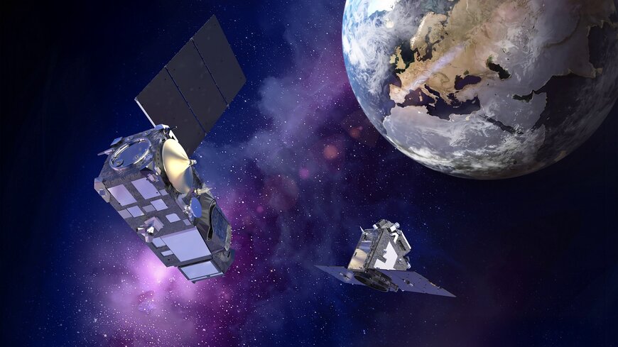
The Copernicus Sentinel-3C and Earth Explorer FLEX satellites were deployed into low Earth orbit to provide combined optical, thermal, and fluorescence data for global environmental monitoring. This spaceborne digital infrastructure addresses operational challenges in climate modeling, agriculture, and oceanographic monitoring.
Industrial Consortium Architecture
The scale and complexity of multi-sensor environmental observation required distributed manufacturing across European aerospace partners. Thales Alenia Space acted as the prime contractor for both platforms.
For Sentinel-3C, Thales Alenia Space developed the satellite platform, the Ocean and Land Colour Instrument (OLCI) imaging spectrometer, and the Synthetic Aperture Radar Altimeter (SRAL). Leonardo engineered the Sea and Land Surface Temperature Radiometer (SLSTR), while Airbus Defence and Space supplied the Microwave Radiometer (MWR).
For the FLEX mission, Thales Alenia Space integrated the core platform across facilities in France, the United Kingdom (propulsion module and platform integration), Belgium (on-board power management), Italy (central processing hardware), and Spain (S-band and X-band communication sub-assemblies). Beyond Gravity provided the primary mechanical structures and thermal control systems, while Leonardo developed the FLORIS high-resolution imaging spectrometer.
Technical Solution and Payload Specifications
Sentinel-3C has a launch mass of approximately 1,140 kg and an operational design life of 7.5 years. The system operates at an altitude of 814 km, capturing surface temperature, ocean color, altimetry, soil conditions, and inland water quality.
The FLEX satellite has a launch mass of approximately 400 kg and an operational lifespan of 3.5 years. Positioned in a tandem 814 km orbit with Sentinel-3, FLEX captures terrestrial plant fluorescence to assess photosynthetic activity and carbon-water cycles.
Orbital Deployment and Data Synergy
Both satellites launched aboard a Vega C vehicle from the European Spaceport in French Guiana. Operating concurrently in an 814 km orbit enables orbital synergy between Sentinel-3 and FLEX.
Atmospheric bias in the raw fluorescence readings from the FLORIS instrument is corrected using optical and thermal data collected simultaneously by the Sentinel-3 imaging spectrometer. The combined data streams eliminate atmospheric distortion, improve fluorescence measurement accuracy, and broaden temporal coverage for vegetation analysis.
Operational Impact
The integrated systems feed data to the European Commission, the European Space Agency (ESA), and the European Organisation for the Exploitation of Meteorological Satellites (EUMETSAT). The resulting multi-spectral data streams provide calibrated inputs for operational weather systems, fire detection networks, agricultural yield forecasting, and climate models.
Edited by Evgeny Churilov, Induportals Media - Adapted by AI.
www.thalesaleniaspace.com
